

Superstition Mountains, Phoenix AZ
Limited time on to get the trailhead? If you can get to Phoenix easily, what’s great about the Superstition Mountains is you can be at the trailhead literally one hour from Sky Harbor airport, and if sunset is fast approaching, you can be at a great campsite rather quickly.

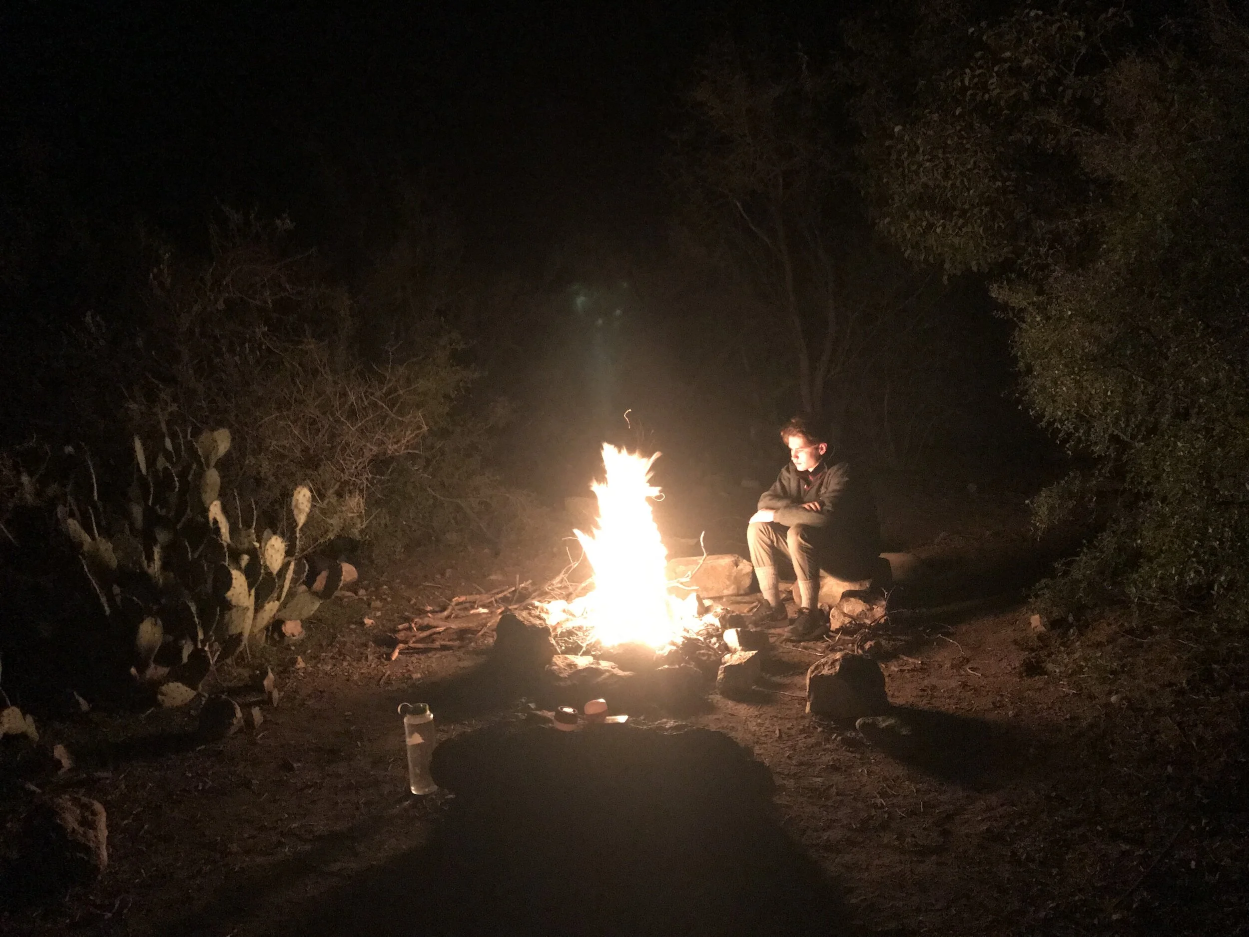
I did this with Son #2 in January 2019. Here’s our story!
Flew to Phoenix on a Thursday night, arriving around 10:00 PM, then checked into a hotel rather close the the airport within the hour. Next time I do this one…and there WILL be a next time, I’d seriously consider skipping the hotel, drive straight to the trailhead and either pitch the tent in the parking lot or pack up and hike a few miles in for the night.
Friday morning we headed out after breakfast to the Peralta Trailhead. Our plan was to go in a counterclockwise route, heading to Charlebois Springs, then circle around Black Top Mesa and after climbing Fremont Pass, find our way back to the start. As for effort, know that the real challenge on this hike as far as elevation is concerned, will either be at the very beginning…or the very end of the hike, as well as half-way in, regardless of which circuit you take.
Vehicle access: The trailhead is only 46 miles from Phoenix Sky Harbor Airport, an easy one your drive depending on time of day (assumes outside of rush hour). The last 6 miles however is off pavement and has some rough spots and we actually got stuck in the mud when leaving since it had been raining for 24 hours and the road was pretty much washed out in multiple places. Fortunately for us, a local hero with a jeep came by and towed us out of the mess! Regardless, 4WD or high clearance vehicle definitely recommended!
Our route
The Superstition Mountains have numerous trails and good signage at the intersections (at least for the ones we did). Starting at Peralta Trailhead, we went counterclockwise, connecting multiple trails to create a loop back to the start. The sequence we did is as follows: Departing from the trailhead:

Camp site options, Night #1: There are some good sites at LaBarge Spring in some relatively wooded areas with relatively easy access to water. If you continue on to Charlebois Springs, you’ll find lots of campsite options in that area as well, though there’s a good chance you may have company with other campers.
Camp site options, Night #2: Along this trail, there are numerous camp sites, all of which have amazing views, all of which have access to water though some is pretty hard to get to. The closer you get to Fremont Saddle, the easier the water access. We pressed on to Lone Tree Campsite

Day #1 Destination Charlebois Springs
Elevation start: 2,395
Elevation at camp 2,592
Distance from trailhead 9.29 miles

For the record, going counterclockwise on this loop basically sets you up for a rather easy hike on on Day #1 and then a need for your legs near the end of Day #2 for the 20+ mile loop we did. It also saves the hardest part for day #2 when you gain significant elevation. Immediately after leaving the trailhead, you get treated to expansive views of desert with large cacti all around. The elevation gains are slow and gradual, making for a relative easy first day on the trail. About 6 miles you have gained enough elevation to make the views “worthy”! There are several nice places to pitch camp once you get past mile 6, but we continued to Charlebois springs, thinking proximity to easy water source was worth the miles.
Once you go past Charlebois Springs, the hiking is super easy. You go along a wash that is broad with many acceptable camping spots that are just past the springs. Eventually there is a need to start gaining some elevation as you begin the climb over Bull Pass.

Day #2: Destination: Lone Tree Campsite
Elevation: 3,743
Distance from Camp #1 10.40 miles
As we got near the end of the second day, we again found a plethora of great places to camp. We decided to push on further to what is know as Lone Tree Campsite.....because, well....there is one (IE a “lone” tree) that is at the very top of a pass, at the end of a cliff that looks back over the valley from whence you just trekk, including an excellent vantage point for checking out Weaver’s Needle. The site is amazing! If you leave the campsite just a few hundred feet to the west, you get a great view of Phoenix and a sunset. Even though still relatively close to Phoenix, looking east from the site, you are back far enough on the trail that there isn’t any material light pollution and it feels candidly as remote as some of the hiking we’ve done in Death Valley.

It was also this night that we field tested our Big Agnes tent for being water proof. We had known the rain was coming and by about 8:30 that night, it started to drizzle and within 30 minutes we had us a solid storm with heavy rains and strong winds. Thankfully we a had enough warning that we had put out all the guy lines for our tent and basically chilled inside the tent, playing cards and telling stories. The real evidence of being waterproof came the next morning when we awoke. It was still raining and found ourselves in the middle of a virtual lake! Yes, we had pitched the tent in a depression area and were completely surrounded by water. Next time we’d look for a different pitch if rain is threatening.

Day #3: Destination - Trailhead and on to Phoenix Sky Harbor Airport
Distance from camp: 2.25 miles
Average grade on descent to trailhead: 11%
Maximum Grade on descent to trailhead: 41%
This last section is beautiful - though we descended in the rain and fog and as a result, visibility was limited. What we could see was super interesting. Included deep ravines, a few small waterfalls and lots of running water from the last 24 hour storm.

