
Death Valley. No trail? No problem.
Date of Trek: February 21 - 25 2018
Death Valley: Cottonwood Canyon - Marble Canyon Loop
Logistics


Open road on the way to Stovepipe Wells

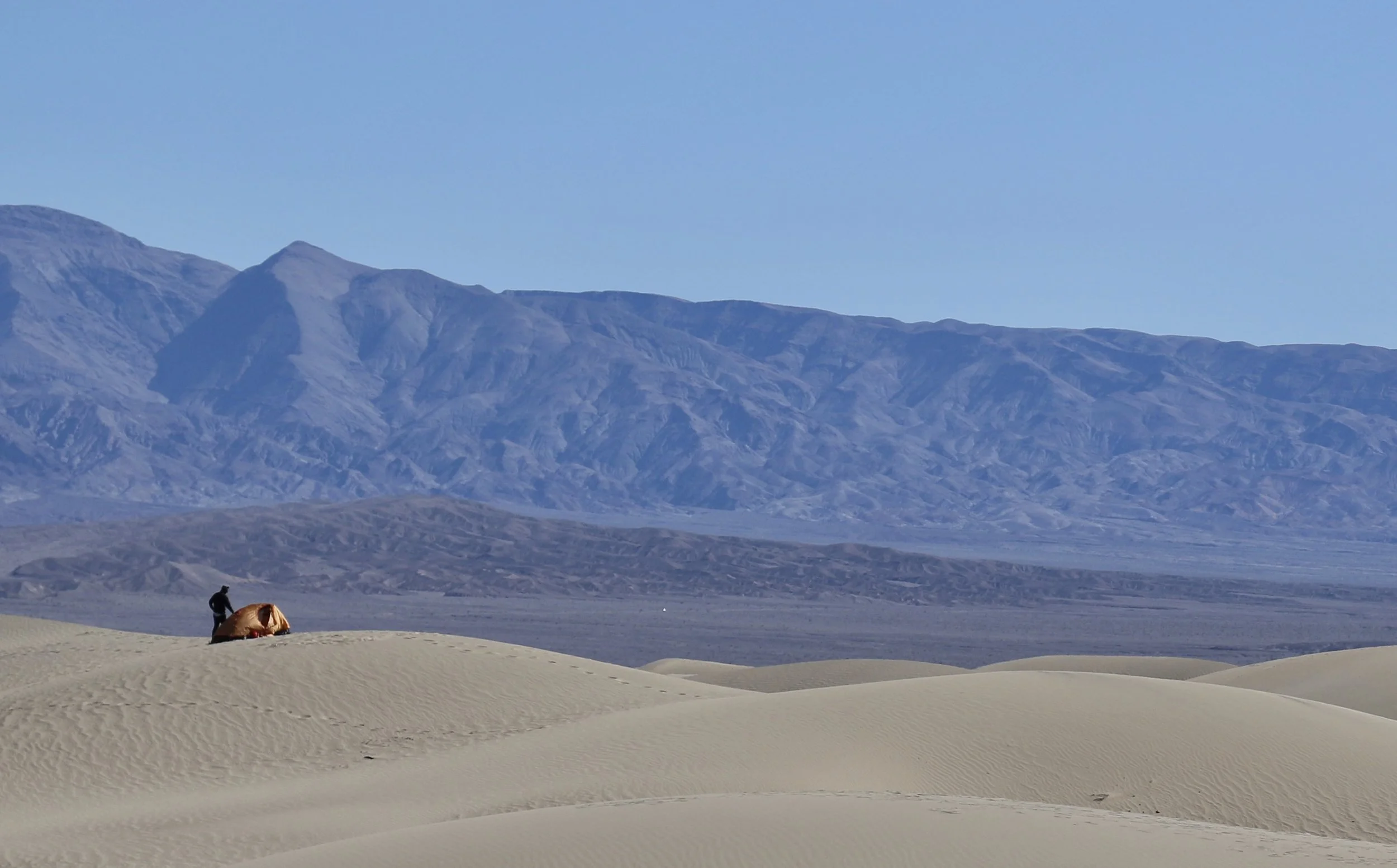
After leaving the pavement, this is a shot of the road to the trailhead roughly 10 miles away.

Overview: If you are looking for a remote hike with the trail all to yourself, this will definitely meet that expectation. We only saw 2 other hikers once we left the trailhead, passing them once on Day #2. Other than that, our only company was each other and the occasional jack-rabbit that popped up out of nowhere as we hiked through the desert.
This trek was the first I did sans established trail. To be fair about it ( estimate here), roughly 1/3rd of this route has no trail - as in absolutely none. With some basic navigation skills though, it is very doable and quite the adventure. I got inspired to do this from an article I read inckpacking Magazine (March 2017) and to prep for it, my son and I took a one-day REI Compass Navigation Course that included getting schooled on topographic maps and how to read them. I have a Garmin Forerunner 935 which is absolutely killer (get one) and frankly, I think that is what enabled us to nail the saddles we had to navigate. Without it, I think we would have struggled to make the pass and have to back track.
Day #1: Destination - Cottonwood Springs
Elevation: 2400 - 2600
Distance from Trailhead: 4 - 5 miles

Campsite #1
The first part of this trek is basically through a very wide, alluvial plain. It’s wide, flat and easy walking. The further you go in, the more narrow it gets and eventually you are in the canyon, We arrived at the trailhead mid-afternoon so didn’t have much daylight to work with, so we basically hiked until dusk then set up camp about 4 1/2 miles in rather than getting all they way to Cottonwood Springs.
Day #2: Destination - Deadhorse Canyon
Elevation: Around 4200
Distance from trailhead 17.8

After passing Cottonwood Springs…found this rack lying in the sand…a sad demise
Campsite #2 - incredible stars!
For our 2nd day, our goal was to get to Cottonwood Springs (12.2 miles from trailhead), reload our water supply, then continue on to go over Cottonwood Saddle (elevation 4800) and camp at the entrance to Deadhorse Canyon. Approaching Cottonwood Springs, the trail narrows and the vegetation thickens from nothing to scrub brush and eventually…cottonwood trees! The spring itself was actually quite lush in the middle of the desert. Lots of water, easy access and a great place to take a break. After this, you go into a very broad and long valley that will meet all your pre-conceived notions of walking through a desert! With the mountains rising significantly to your right, continue walking while keeping a watch on your map and GPS for the sharp right turn to go over Cottonwood Saddle.
After getting to the top of the saddle, dropping down toward Deadhorse Canyon about 1/2 mile (at least the route we took) was a very steep grade and without any trail. It was actually pretty difficult to do with a full pack. Trekking poles helped a lot here, though it can be done without them. Just before mile 18, it levels out and there is fantastic options to pitch your tent. There is also water access within easy walking distance though this source is said to be very seasonal and not reliable at all (hence the need to carry lots of water).
Day #3: Destination - exit Marble Canyon back to starting spot
Highlight of this day are the “Narrows”!
The 3rd day of this trek yields very different topography since Marble Canyon has a series of 3 narrows over a 6 miles stretch that are really fun to explore. Before you get to the narrows, about 1 mile from where we camped, there is an 8 foot drywall you have to descend We used para-cord to lower our packs which made this a bit easier. As for the narrows, none of them are so tight that you have to squeeze your way through, but after going through the alluvial plain on Day #1 and the wide desert valley on Day #2, the narrows are a real treat.
Exiting the last narrows, the landscape widens immediately and you’ll be on Marble Canyon Road (dirt) with just under a mile to go back to the start of the trailhead for a final night of camping under the stars.


